


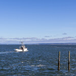

NOAA Fisheries is shaking up its plans for Alaska fisheries surveys as part of a broader effort to reprioritize its survey portfolio and make it more efficient, flexible, and cost-effective.
“Alaska marine ecosystems are changing, and our science has to change with them,” Alaska Fisheries Science Center (AFSC) Director Robert Foy said of the multi-year effort to redesign and modernize the agency’s surveys.
Changes include the development of a new Bering Sea survey, the suspension of the Alaska Longline Survey in 2024, and the shortening of three other surveys.
The new annual bottom-trawl survey of the Bering Sea will replace the annual Eastern Bering Sea shelf survey, portions of the eastern Bering Sea slope survey conducted from 2000 to 2016, and the annual Northern Bering Sea bottom-trawl survey.
“We will be using a stratified-random sampling design, rather than a systematic grid with fixed stations,” AFSC Resource Assessment and Conservation Engineering Division Director Lyle Britt said. “The advantage of the new approach is that we can be more nimble in our survey implementation. We will be able to respond more quickly to changes in the marine environment without jeopardizing data quality.”
NOAA Fisheries has long relied on conducting surveys with limited variation to create data that can be compared over time to measure changes. However, climate change now requires the agency to adapt its long-running methodologies.
“We have been conducting some Alaska surveys in the same areas, using the same survey equipment, for decades. As a result, we have been able to reliably track changes in species abundance for key commercial fish and shellfish species because we had comparative data collected over the years. However, with warmer ocean temperatures, species may not be found in the same areas or gather to spawn at the same time that they did historically,” Britt said.
The Alaska Longline Survey is primarily used to measure sablefish populations, but with the value of sablefish dropping and fishermen catching significantly less than the acceptable biological catch, the agency deemed that skipping the survey this year was low-risk.
“In the long term, our broader survey modernization efforts – including the use of new technologies and survey methods – will lead to greater efficiency, flexibility, and cost-effectiveness,” the agency said. “This will ensure that NOAA Fisheries can continue to provide fisheries, ecosystem, and climate data to support adaptive fisheries management.”
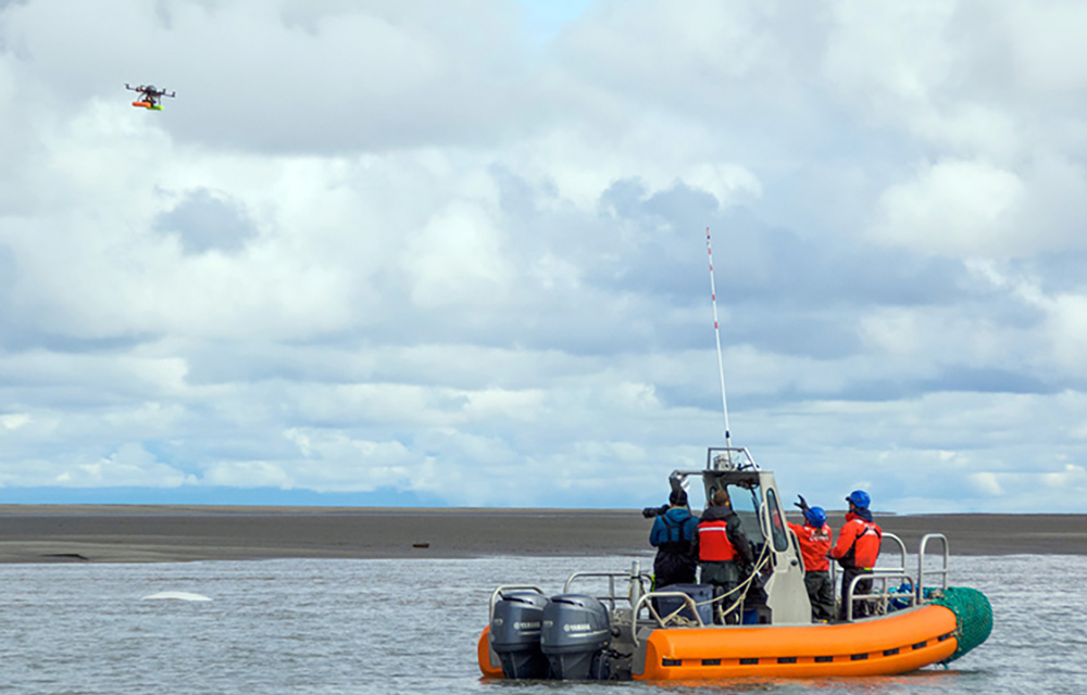
Separately, NOAA Fisheries announced it is delaying a new aerial survey measuring endangered beluga whales until June 2025. Published in 2022, the agency’s last estimate showed 331 beluga whales in the area.
The NOAA Fisheries team was set to replace the traditional plane survey with a line-transect aerial survey, combined with overhead drone footage collected for another project, but the plane they needed suffered from mechanical issues, and they were unable to secure a replacement in time.
The agency will still be able to use the drone footage to conduct an abundance effort.
“The count information we collect using this technology has allowed us to produce a comparable abundance estimate to other approaches," AFSC Marine Biologist Paul Wade said.
Still, it plans to conduct a crewed survey in 2025 to get a fuller picture.